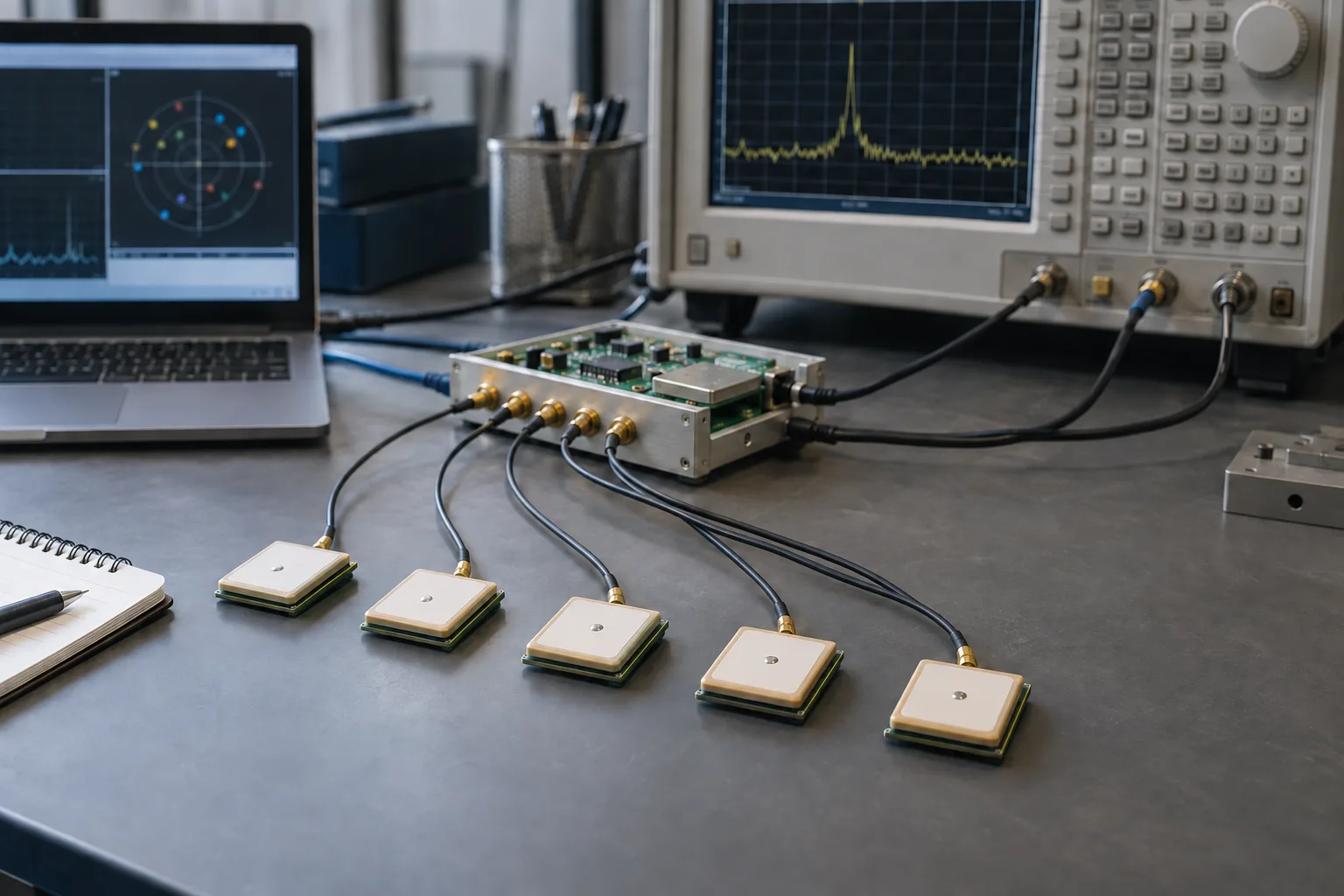

Navigation and signals
Acquisition, satellite measurements and filtering to understand positioning quality.
KAYRO / R&D
Our in-house research starts with specific technical questions: observe, build a prototype and test its limits. Our Multi-GNSS programme now continues as Rastella; others will follow when they have a defined research path.
01 / WHY RESEARCH
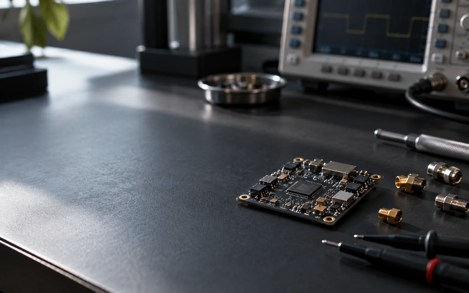
Before choosing a solution, we define what to observe and which conditions might challenge it. A focused prototype lets us compare a hypothesis with measurements.
02 / METHOD
Each step should help make a clearer technical decision.
We isolate the technical question, constraints and what needs measuring.
We build the smallest setup capable of testing the hypothesis.
We compare results with the questions and criteria defined at the start.
Evidence informs the architecture and the next development cycle.
03 / RESEARCH AREAS
Signals, embedded computing and integration are technical areas, not completed projects. Each new project will define its own goals, prototypes and validation criteria.
Acquisition, satellite measurements and filtering to understand positioning quality.
Algorithms and data flows designed around available resources, timing and operating conditions.
Sensors, software and external platforms connected through clear interfaces, states and limits.
05 / COLLABORATION
If you are considering collaboration on navigation, prototyping or integration, tell us the context and what needs validation. We can identify a useful first experiment together.